Pre-Roman occupation
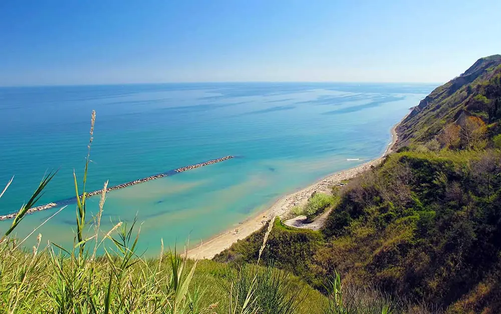
The Adriatic side of Monte San Bartolo has been frequented by humans since prehistoric times. At the mouths of the streams that cut through the cliff and in the coastal alluvial deposits, flint tools and pottery fragments brought in by the sea were not uncommonly found, well into the last century. The mild climate of the east-facing slope, the cultivable hills and the presence of fresh water at the Mida spring made the area an established settlement zone from the Bronze Age onwards.
The Greek landing
From the sixth century BC the San Bartolo coast becomes part of the trade route linking the Greek world to the great markets of the northern Adriatic, particularly Spina, on the Po delta, and Adria, in the inland Veneto. The route, described by ancient sources and reconstructed by archaeological studies, called for a series of coasting landings on the Italian coast: Numana, Ancona, today's Santa Marina di Focara, the mouth of the Marecchia, Spina, Adria. The landing of Santa Marina di Focara, immediately south of Vallugola, corresponds to one of these.
The archaeological finds in the waters off the bay include Attic black-figure and red-figure vases datable to the fifth century BC, terracottas and fragments of amphorae. The material was produced in Greece and spread throughout the Adriatic via trade with the Etruscan world of the Po valley, of which Spina was the terminus.
In support of a stable Greek presence, the sources mention the existence, on the hill overlooking the bay, of an inscription relating to a temple dedicated to Jupiter Serenus. The epithet translates the Greek Zeus Ourios, a deity invoked by Phocaean sailors to obtain favourable winds. The reference to a cultic protection of seafarers, and the framing of the cult within a Hellenic pantheon, are consistent with the bay's role as a landing.
The Roman port and the Via Flaminia
The foundation of Pisaurum — today's Pesaro — as a Roman colony in 184 BC, and the subsequent opening of the Via Flaminia, consolidate the strategic role of the coast. The Flaminia, which led from Rome to the Adriatic across the central Apennines, ran inland of the coast, but it fed a network of secondary landings used for the exchange of goods between the sea and the interior.
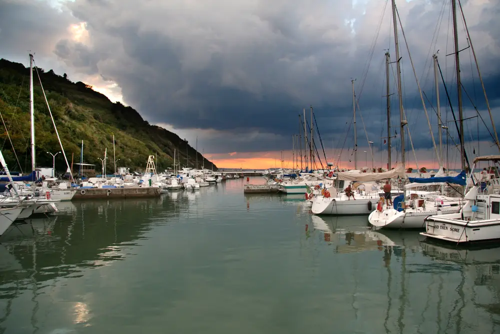
Vallugola fits into this system as a service landing: deep waters and the natural protection of the cliff made it a reliable shelter, particularly compared to the port of Pesaro, which was periodically silted up by the deposits of the Foglia river. From the Roman period come numerous finds recovered in the waters of the bay, including amphorae, mosaic fragments, terracottas and bricks, today held in part in the collections of the Museo della Regina of Cattolica and in local collections.
Among the most important pieces is the recovery of a Roman dolium, a terracotta container almost two metres tall, brought up from the coast in the first decades of the seventeenth century and taken to the castle of Montelabbate. The artefact, now on display in the gardens of the town hall of Montelabbate, is one of the material proofs of the landing's commercial activity: dolia were used to transport large quantities of liquids, especially wine, in the holds of ships.
The early Middle Ages and Byzantine trade
After the late-antique invasions, the coast comes within the Byzantine sphere of influence and port activity resumes within the trade between the Exarchate of Ravenna and the Dalmatian coast. The sources record the San Bartolo landing as part of a minor but active network, fed by demand for grain, wine and transit goods. The surrounding territory, organised into small fortified settlements on the ridge, depended in temporal matters on the Archbishopric of Ravenna.
In the later Middle Ages, the castles of the Focara promontory — today's Fiorenzuola di Focara, Casteldimezzo, Granarola and Gabicce Monte — became contested territory between Rimini, Pesaro and the Papal State. The harbour of Vallugola, the natural maritime outlet of the ridge, was caught up in those disputes. Its final assignment to Pesaro took place in 1355, under the Malatesta lordship.
On 16 August 1271, in response to pressure from Pesaro on the ridge castles, the inhabitants of Fiorenzuola, Casteldimezzo, Granarola and Gabicce obtained from the Comune of Rimini the concession of an area in which to build a fortified terra, named Cattolica. The event, documented by a deed of 1271 preserved in the Archiepiscopal Archive of Ravenna, is the date of the foundation of the town of Cattolica. The birth of the new fortified centre changed the landing system of the area: harbour activity began to shift towards the mouth of the Tavollo, where defence was easier.
The seventeenth-century decline
The turning point in the history of Vallugola is the construction of the new canal harbour of Pesaro. In 1612 a flood of the Foglia made the city's old river harbour unusable; between 1613 and 1614 Duke Francesco Maria II Della Rovere, the last lord of Urbino and Pesaro, had the river diverted and a modern canal harbour built to a design by Niccolò Sabbattini, able to take larger vessels.
The work redrew the geography of the harbours of the northern Marche coast. Pesaro became the duchy's reference port and, as a consequence, minor landings like Vallugola progressively lost their commercial function. The bay continued to be used by local fishermen, but was marginalised relative to long-haul traffic. On the death of Francesco Maria II in 1631 the duchy of Pesaro and Urbino reverted to the Church, and the bay became part of the Papal State until Italian unification.
The contemporary era
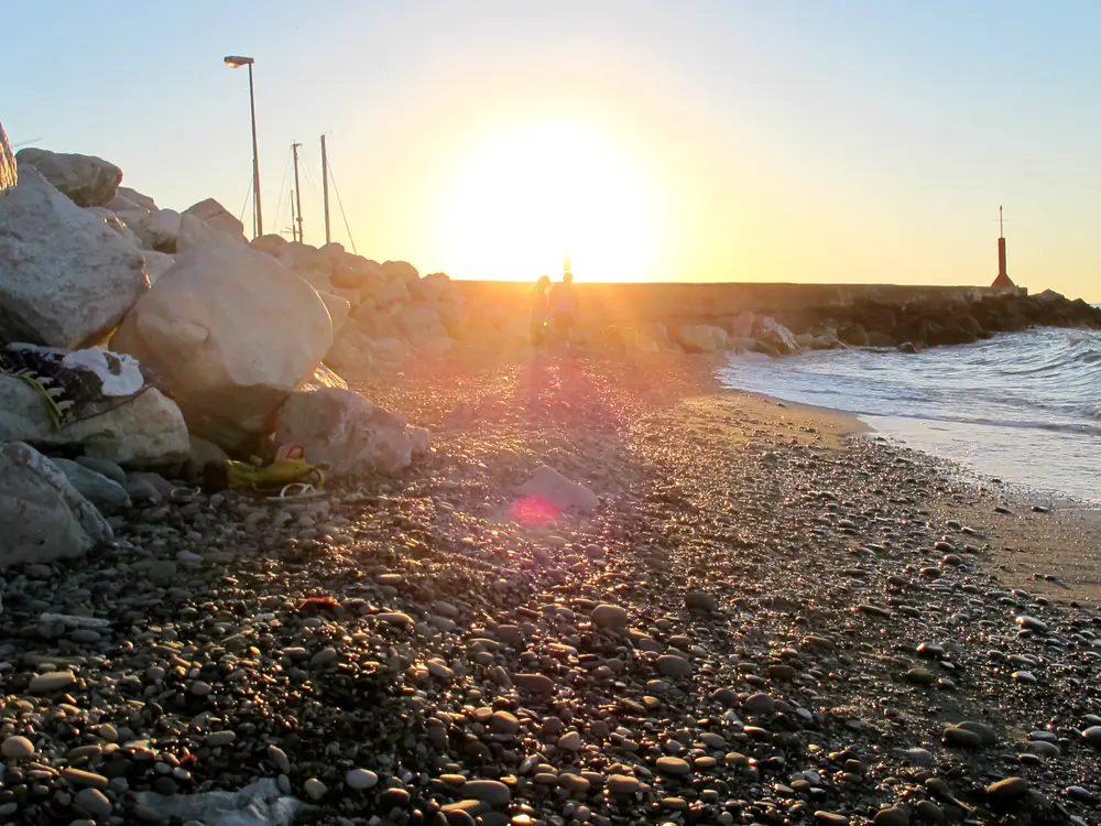
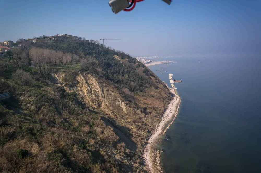
For more than three centuries Vallugola remained a small fishing landing, used by the inhabitants of the ridge villages and without commercial activity of any note. The geographical marginality, which in other circumstances would have been a disadvantage, has helped preserve the landscape: the bay has known neither the industrial development nor the seaside urbanisation that transformed other stretches of the Adriatic coast in the twentieth century.
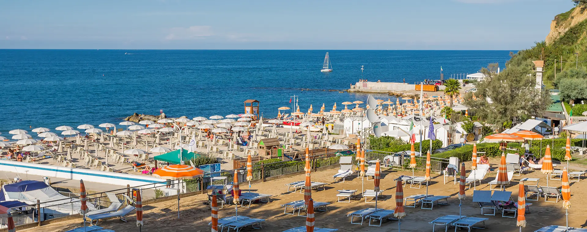
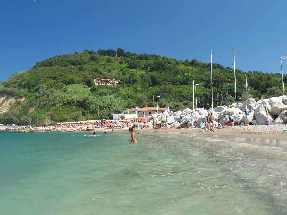
From the 1970s onwards the bay saw the construction of a marina, of some accommodation and of a campsite, alongside the rise of seaside tourism in nearby Gabicce Mare. In 1994 the Marche Region established the Monte San Bartolo Regional Nature Park, which includes the whole bay and regulates building and environmental work within it. The creation of the park marked the start of a phase of active landscape protection, now strengthened by the park's signing of the European Charter for Sustainable Tourism in Protected Areas.
The material evidence
The archaeological materials recovered in the waters and on the coast of Vallugola are distributed across several locations:
- Museo della Regina, Cattolica. Holds finds recovered in the stretch of sea between Cattolica and the San Bartolo, including Roman-period amphorae, ceramics and ship-cargo materials.
- Museo Paleontologico Luigi Sorbini, Fiorenzuola di Focara. Houses Messinian fossils from the cliff, in particular ichthyolites and phyllites datable to between 10 and 6 million years ago.
- Town hall of Montelabbate. In the gardens in front of the municipal building, it displays the Roman dolium recovered from the Vallugola coast in 1610, restored in the first decade of the 2000s.
Occasional finds continue to surface periodically, especially after winter storms and during dives in the waters of the bay. They remain a matter of archaeological interest and contribute to the still-developing literature on the history of the lesser harbours of the San Bartolo.