At a glance
- Area: 1,600 hectares
- Coastal length: about 10 km
- Highest point: 222 m (Casteldimezzo area)
- Municipalities: Pesaro and Gabicce Mare
- Access: open and free all year
- Main road: SP 44 Panoramica Adriatica
- Entry points: Pesaro, Vallugola, Gabicce Monte, Casteldimezzo, Fiorenzuola di Focara
What to see in the park
The ridge villages
- Gabicce Monte: panoramic belvederes over the Riviera, Church of Sant'Ermete, seafront restaurants
- Casteldimezzo: Sanctuary of the Crucifix, surviving tower, view over the Devil's Peak. See Casteldimezzo
- Fiorenzuola di Focara: Dantean village, Borghi più Belli d'Italia, Sorbini Palaeontological Museum. See Fiorenzuola di Focara
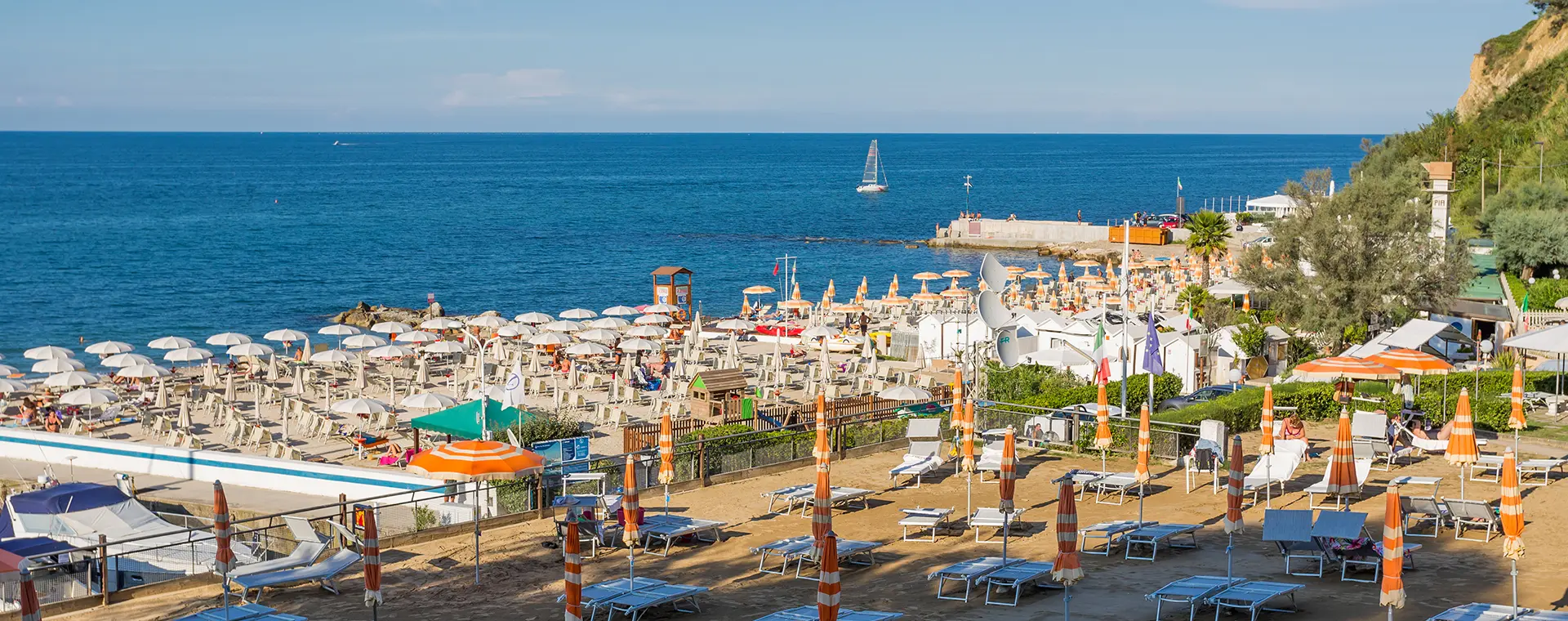
Vallugola Bay
The only natural landing on the Adriatic side between Pesaro and Cattolica. Comprises a pebble beach, the marina (the only one in the park) and seafood restaurants. See Vallugola Bay.
The other beaches
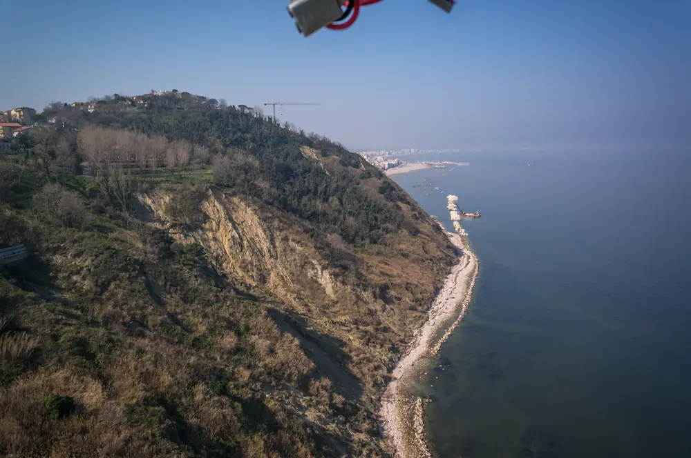
Below the cliff open small pebble coves reachable only on foot or by sea: the beach of Fiorenzuola (included by the Guardian among Europe's 40 most beautiful in 2019) and the smaller beach of Casteldimezzo. See Beaches of the San Bartolo Park.
The villas and historic sites
- Villa Imperiale, ducal residence of the Della Rovere, with Renaissance frescoes by Genga, Perin del Vaga and Bronzino. Visits by booking
- Villa Caprile, eighteenth century, known for the water features of its Italian garden
- Archaeological site of Colombarone, with the remains of a late-Roman villa of the third-fifth century and of an early Christian basilica. Antiquarium with the finds
- Ridge sanctuaries: Crucifix at Casteldimezzo, Madonnina del Mare at Gabicce Monte
What to do in the park
Hiking. Network of waymarked CAI paths. The 151 crosses the whole park from Pesaro to Gabicce (20 km, 7-8 hours). Shorter loops from the bay and the villages. See Paths and walks.
Cycle tourism. The SP 44 Panoramica Adriatica is one of the most popular cycling routes in central Italy. Sunday mornings, June-September, closed to traffic from 6 am to 12:30 pm. See Vallugola by bicycle.
Sea. Vallugola Bay, the park's pebble beaches, boat trips from the harbour, snorkelling. See Activities at sea.
Villages and culture. The three ridge villages with sanctuaries, belvederes and local traditions. Dantean readings at Fiorenzuola in September.
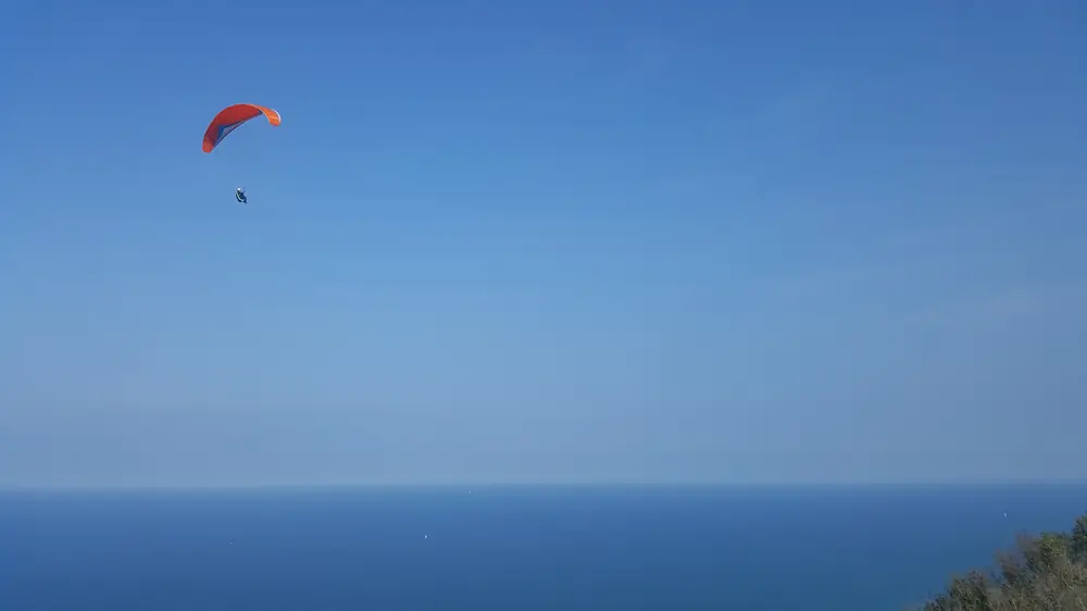
Sunsets. The ridge belvederes (Gabicce Monte, Casteldimezzo, Montagnola) are among the best viewpoints in the area for sunset. See Sunsets and sunrises at Vallugola.
Geography and environment
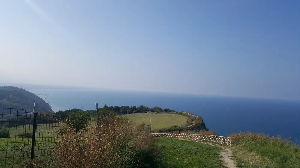
The park develops along a hilly ridge between the river Foglia (at Pesaro, to the south) and the Tavollo stream (on the border with Romagna, to the north). It is divided by the line of the SP 44 into two areas:
Above the Panoramica. Farmland with fields, vineyards, olive groves and historic farmhouses. About 60% of the protected area.
Below the Panoramica. Coastal cliff and small valleys running down to the sea. This is the sector of greatest natural interest, with the Messinian cliff exposing a geological sequence of international importance (the fossils are kept at the Sorbini Museum in Fiorenzuola).
Wildlife and biodiversity
On the cliff the peregrine falcon nests. During the migration passages (April-May and September-October) the park sees the transit of many species of raptors (honey buzzards, harriers, sparrowhawks, common buzzards, kites) and of seabirds. The Park Authority runs a monitoring programme with the University of Urbino.
Among the mammals are roe deer, fox, crested porcupine, badger. Among the notable plant species are wild orchids and wild tulips in the dry grasslands of the ridge.
In May, broom in flower turns the slopes of the ridge yellow.
Recognitions
- European Charter for Sustainable Tourism in Protected Areas (EUROPARC Federation)
- Fiorenzuola di Focara: Borghi più Belli d'Italia (Borgo Ospite, 2023)
- Beach of Fiorenzuola di Focara: among Europe's 40 most beautiful per The Guardian (2019)
- Gabicce Mare: FEE Blue Flag, Paediatricians' Green Flag
Entry points to the park
| Access | Coming from | What you reach |
|---|---|---|
| Pesaro | Soria and Cattabrighe districts | Southern paths of the park, Villa Imperiale |
| Vallugola | SP 44 and Strada della Vallugola | Harbour, beach, path 151d |
| Casteldimezzo | SP 44 | Village, sanctuary, path to the beach |
| Fiorenzuola di Focara | SP 44 | Dantean village, Sorbini Museum, Sentiero dell'Amore |
| Gabicce Monte | From Gabicce Mare | Village, belvedere, path 151 heading south |
When to go
Spring (April-June). Best season: moderate temperatures, blossoms, migration passages, broom in May.
Summer (July-August). For the sea and swimming. On the paths, plan your walks for early morning or late afternoon.
Autumn (September-October). Second optimal season: pleasant temperatures, woodland colours, autumn migration passages, sunsets among the finest of the year.
Winter. Paths walkable, skies particularly clear after tramontana winds, minimum visitor numbers.